|
|
|
Disclaimer: The information in this website is entirely drawn from a 1995 publication, and has not been updated since the original publication date. Users are cautioned that information reported at that time may have become outdated.
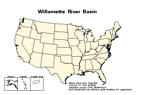
Size and location: The Willamette River basin is located in Oregon and covers 29,785 square kilometers (11,500 square miles). Within the basin are more than 8,050 kilometers (5,000 miles) of rivers and tributaries.
Nature of EPA involvement: EPA has provided technical assistance for restoration projects, contributed significant funding for watershed plan development, and participates with other organizations in working groups.
Organizations that initiated project: A number of local, state, and federal groups are working to align their efforts.
Major environmental problem:
Actions taken or proposed: EPA is developing several strategic work plans for the Willamette River basin. These work plans include:
All work plans include field-level demonstration projects.
EPA is working with a variety of local, state, federal, and private groups to develop new technical approaches for reconciling conflicts between land use and the management of terrestrial and aquatic biodiversity.
Federal Forest Ecosystem Management Plans are being developed for the "key watersheds" on federally owned forest lands within the Willamette River basin. More than a dozen "key watersheds" have been designated within the basin. Watershed analysis for restoration work began in 1994.
Oregon is developing state policies and processes for fostering greater local stewardship through interagency communication and the formation of local basin councils.
Six communities within the Willamette River basin are developing comprehensive wetland protection plans. Total maximum daily loads are being developed in a number of subwatersheds.
Many local and basinwide networks have been or are being formed in response to changes in social and land use development patterns and the corresponding effects on resource management options.
Stakeholders:
Local citizens
Local Soil and Water Conservation Districts
Multiple state agencies
Natural Resources Conservation Service
Pacific Rivers Council
The Nature Conservancy
U.S. Environmental Protection Agency -
Corvallis Research Lab
Contact:
Mike Rylko
U.S. EPA Region X
1200 Sixth Avenue
Seattle, WA
98101
(206) 553-4014
FAX: (206) 553-0165
Environmental Protection Agency's Office of Wetlands, Oceans, &
Watersheds![]()
EPA
HOME | OWOW HOME | SEARCH | COMMENTS